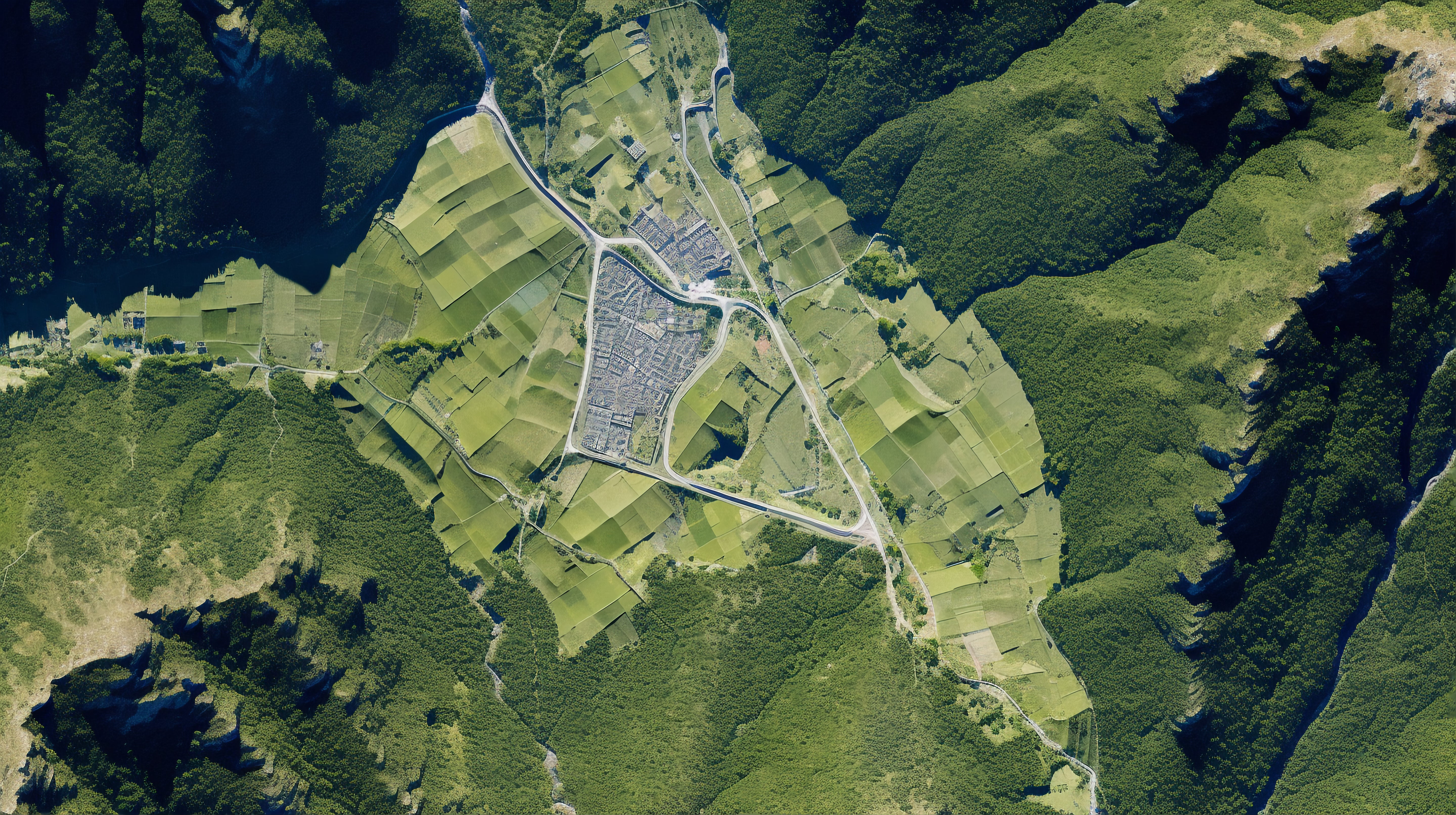
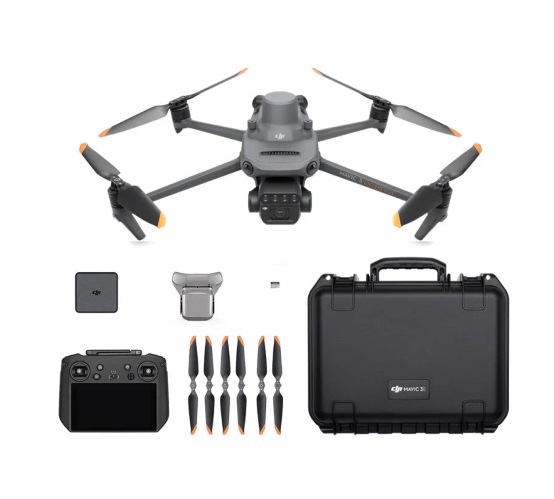
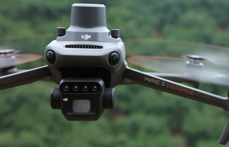
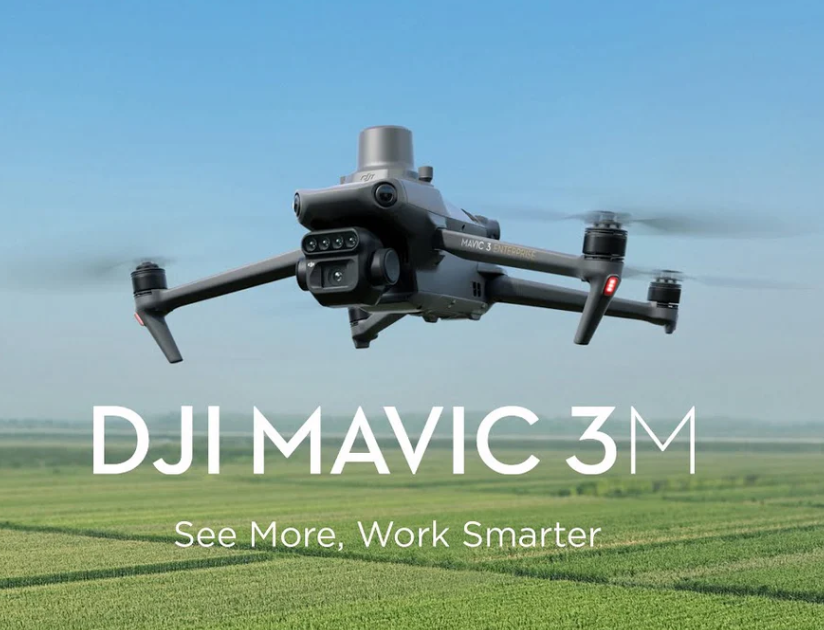
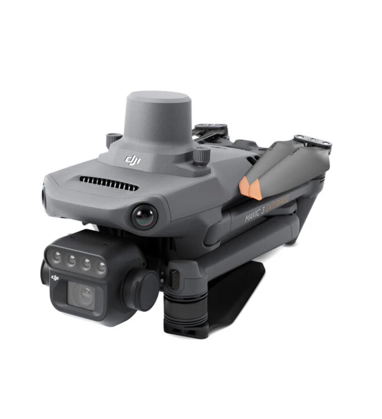
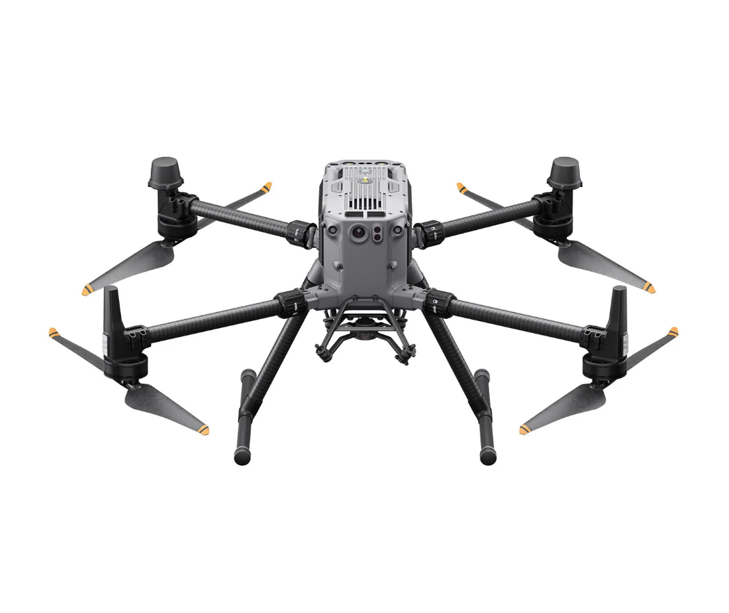
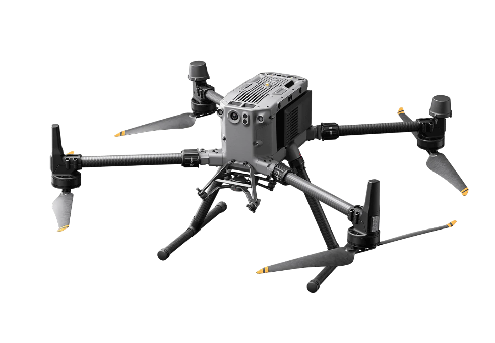
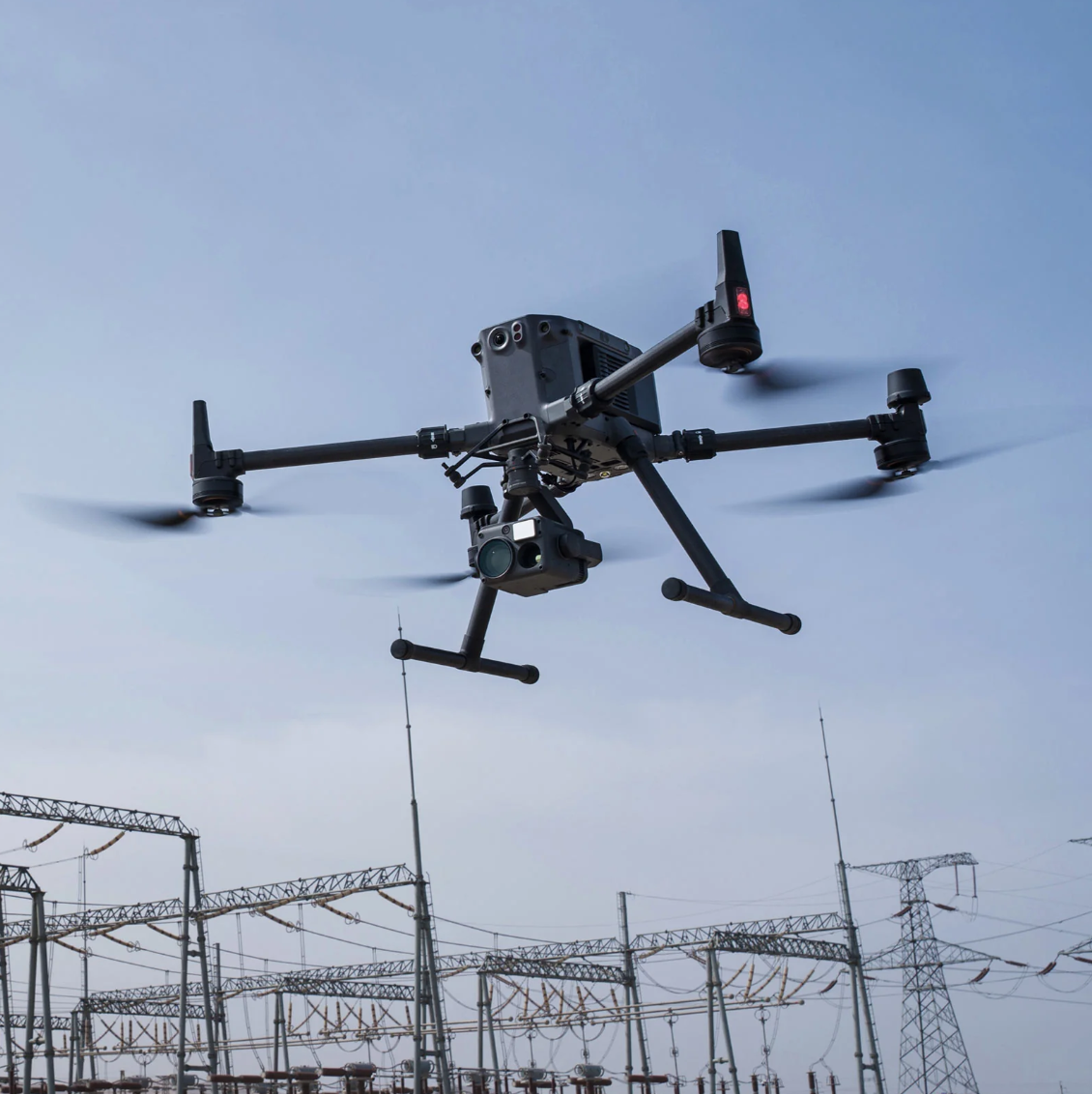
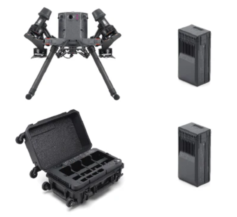
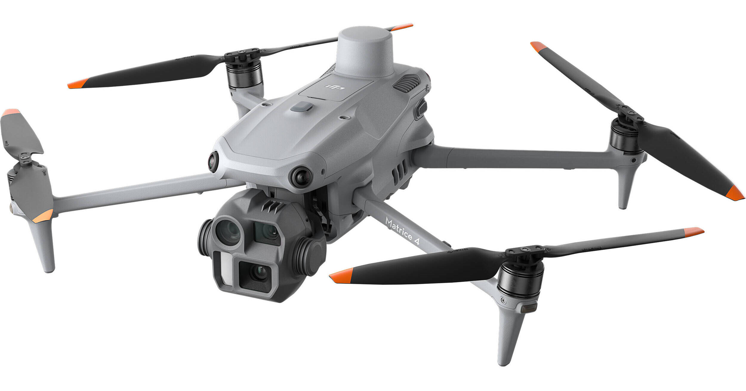
Surveying and mapping drones are equipped with cameras, sensors, and GPS technology to collect high-precision geospatial data from the air. These drones have transformed the fields of surveying and cartography, providing quick, accurate, and cost-effective solutions for capturing and analyzing terrain and structures.