
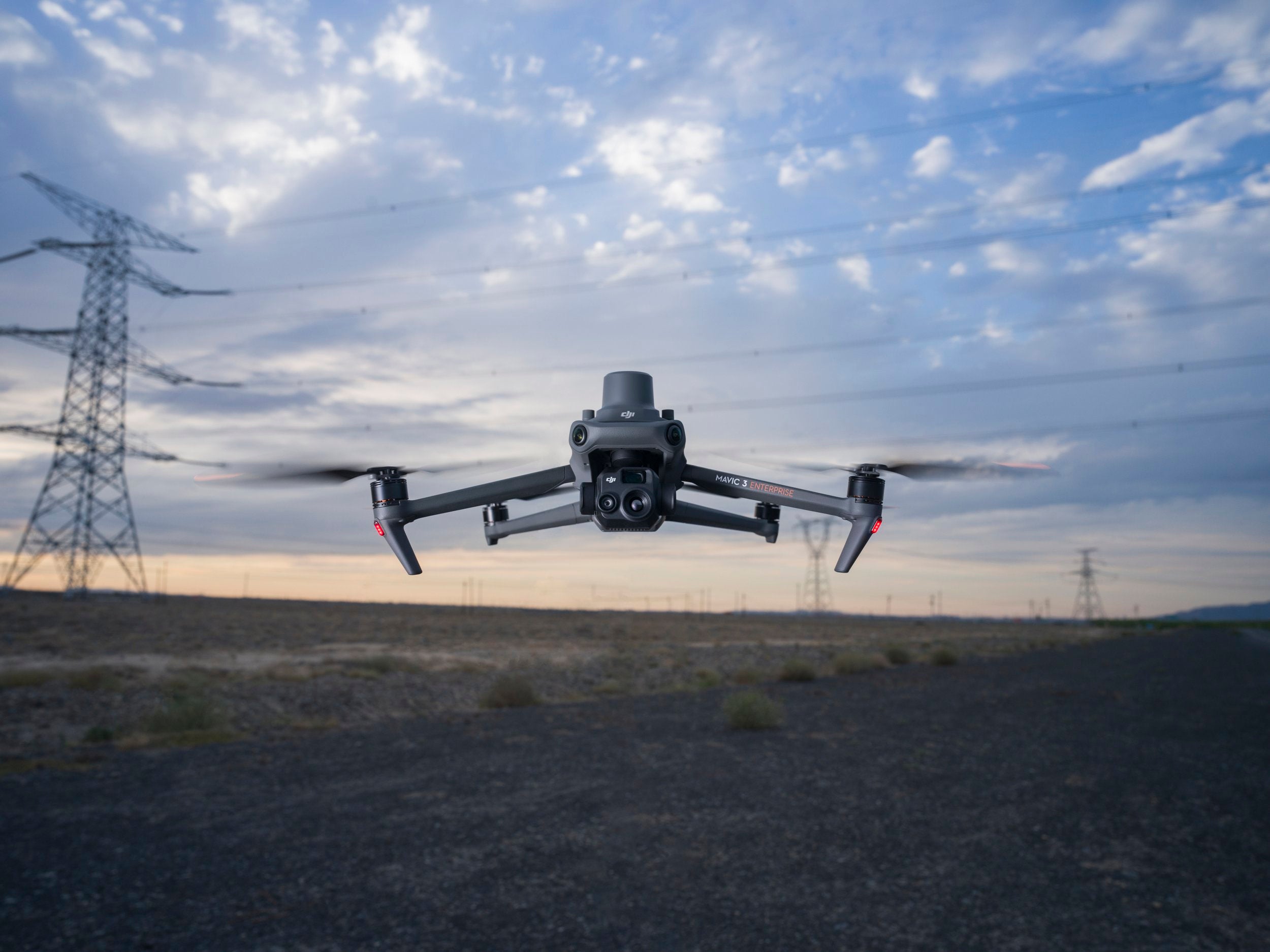
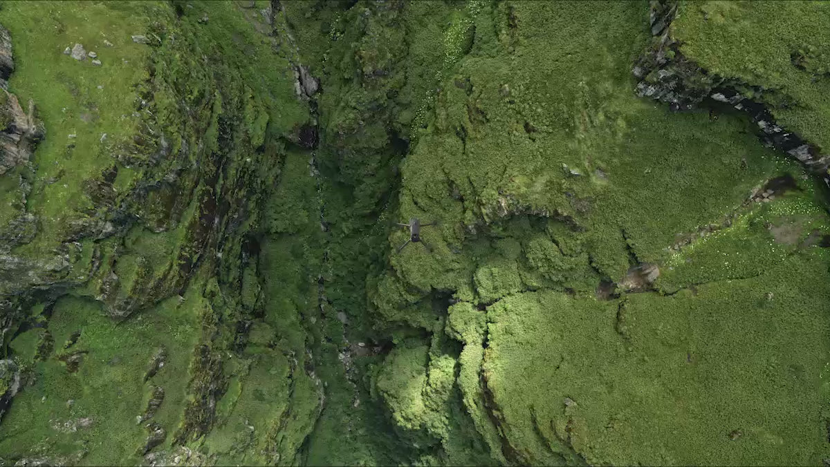
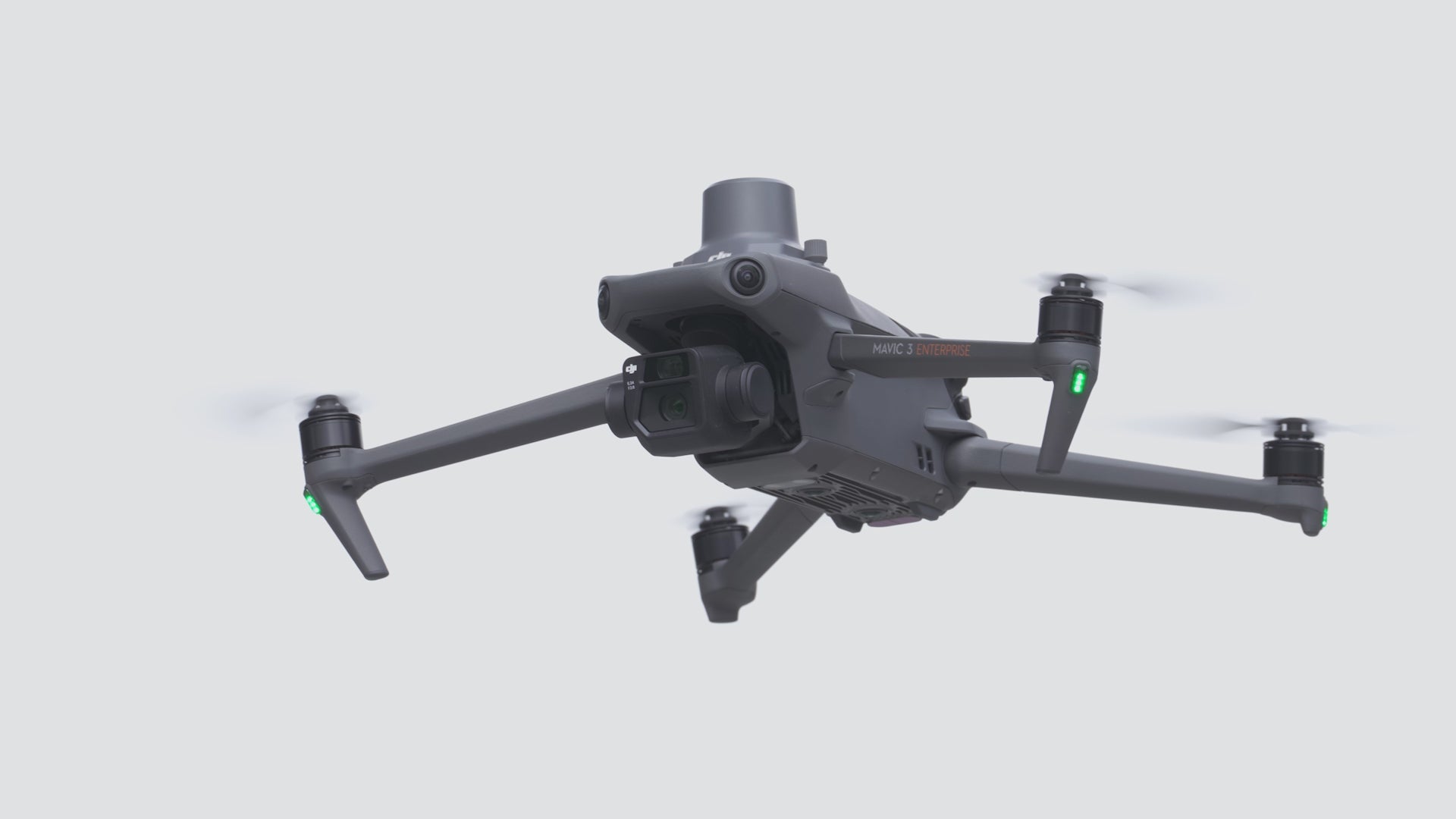
Compact and Portable
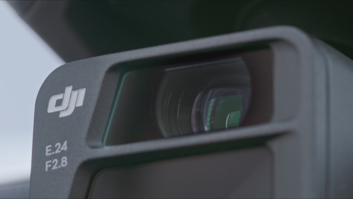
4/3 CMOS Wide Camera [1]
56x Hybrid Zoom
640 × 512 px Thermal Camera [2]
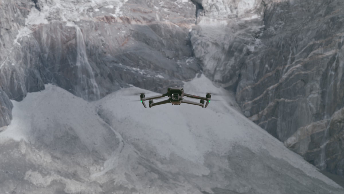
45-min Max Flight Time [3]
DJI O3 Enterprise Transmission
Centimeter-level Positioning with RTK [4]
High-Volume Loudspeaker [4]
Compact and Portable
Streamlined and compact, Mavic 3 Enterprise Series can be carried in one hand and deployed at a moment's notice. Perfect for beginner and veteran pilots alike, it's built to perform on lengthy missions.

Premium Camera Performance
Survey with Speed
Mavic 3E's wide-angle 4/3 CMOS, 20MP sensor has a mechanical shutter to prevent motion blur and supports rapid 0.7 second interval shooting. Complete mapping missions with extraordinary efficiency without the need for Ground Control Points.
Focus and Find
Equipped with a 12MP Zoom Camera, supporting up to 56x Mac Hybrid Xoom to see essential details from afar.
See the Unseen
Mavic 3T's thermal camera has 640x512 resolution and supports point and area temperature measurement, high temperature alerts, color plattes, and isotherms to help you find your targets and make quick decision. [2]
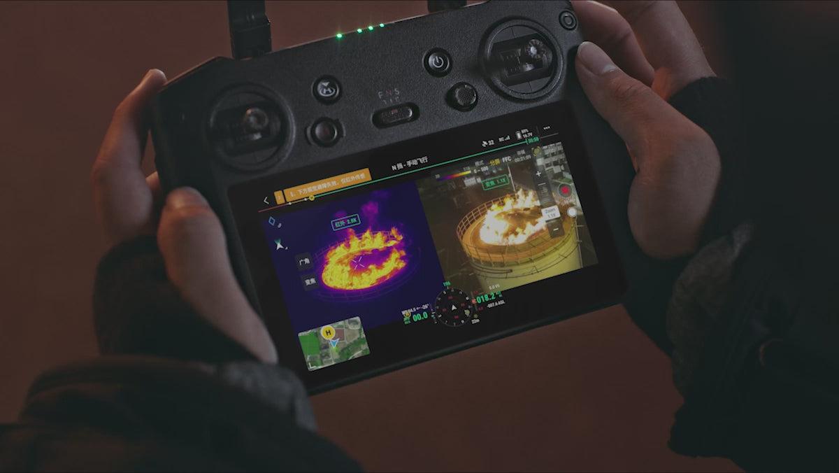
Simultaneous Split-Screen Zoom
Mavic 3T's thermal and zoom cameras support 28x continous side-by-side zoom for easy comparisons. [2]
Exceptional Operational Efficiency
Batteries Optimized for Endurance
45 min flight durations let you cover more ground each mission, for surveying of up to 2 square kilometers in a single flight. [3][5]
Max Flight Time: 45 minutes [3]
Surveying Area in a Single Flight: 2 square km [5]
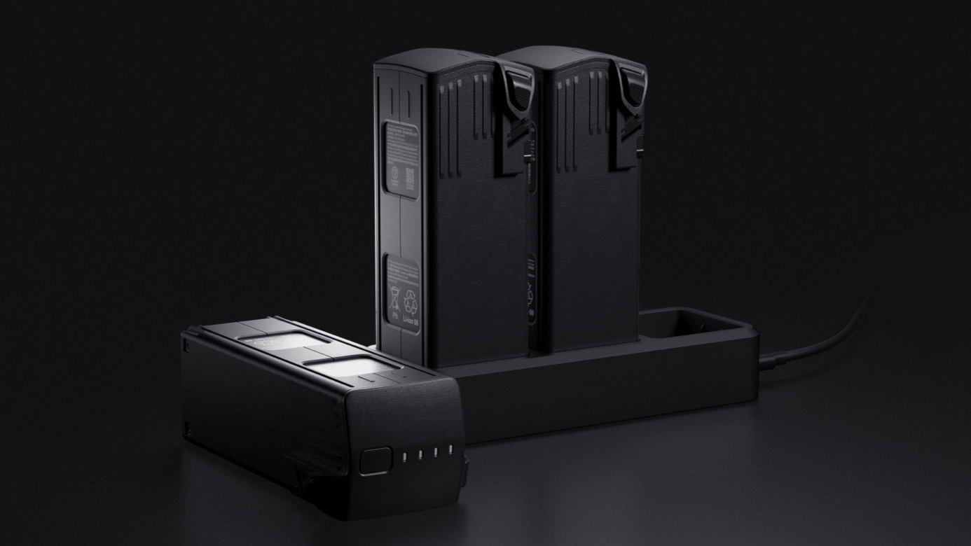
Fast charge batteries with 100W charging hub, or directly charge the drone with 88W fast charging.
Charging Hub: 100W
Aircraft: 88W
Next-Generation Image Transmission
Four built-in antennas support O3 Enterprise Transmission, with two antennas to transmit signals and four antennas to receive signals. The aircraft and remote controller both support the DJI Cellular Dongle.* This enables 4G Enhanced Transmission to work with O3 Enterprise Transmission for seamless operation in complex environments. help to ensure safer flights.

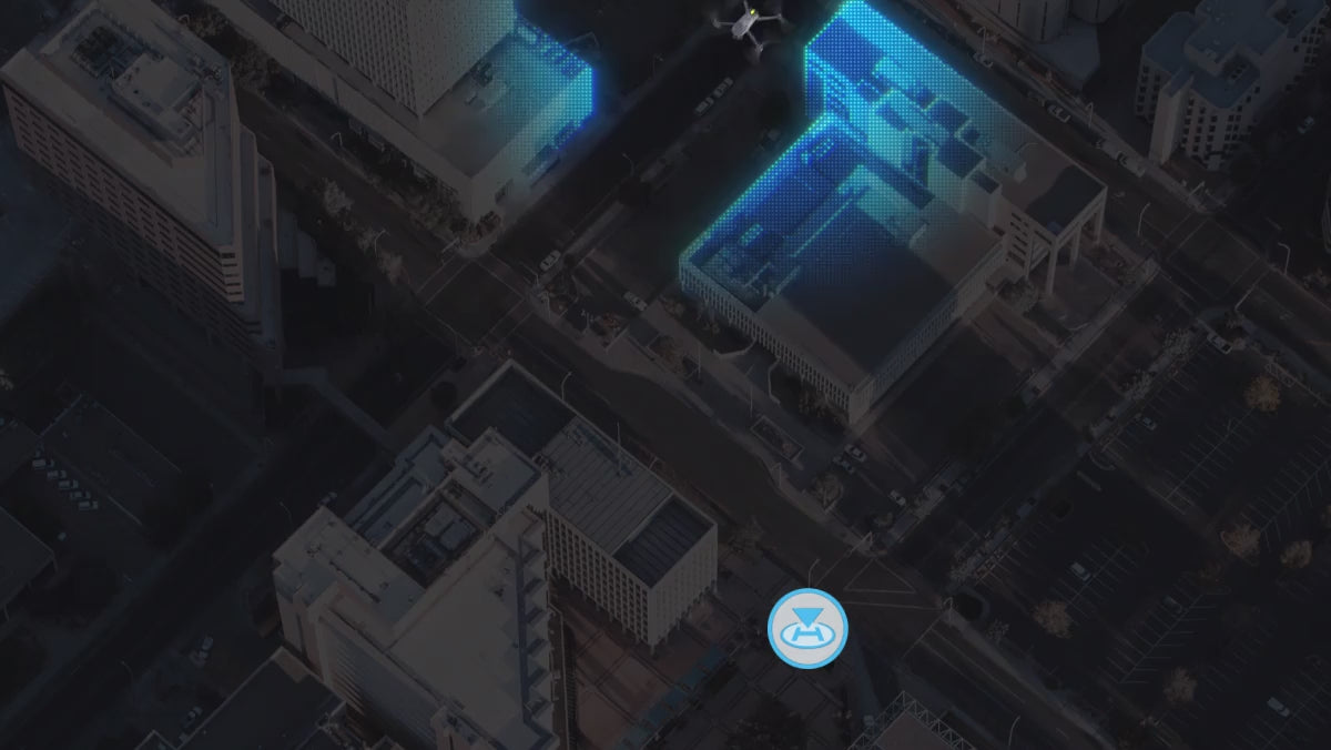
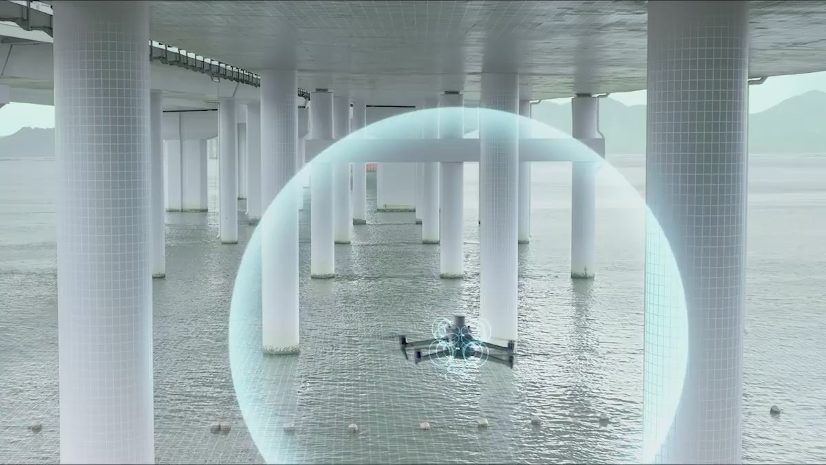
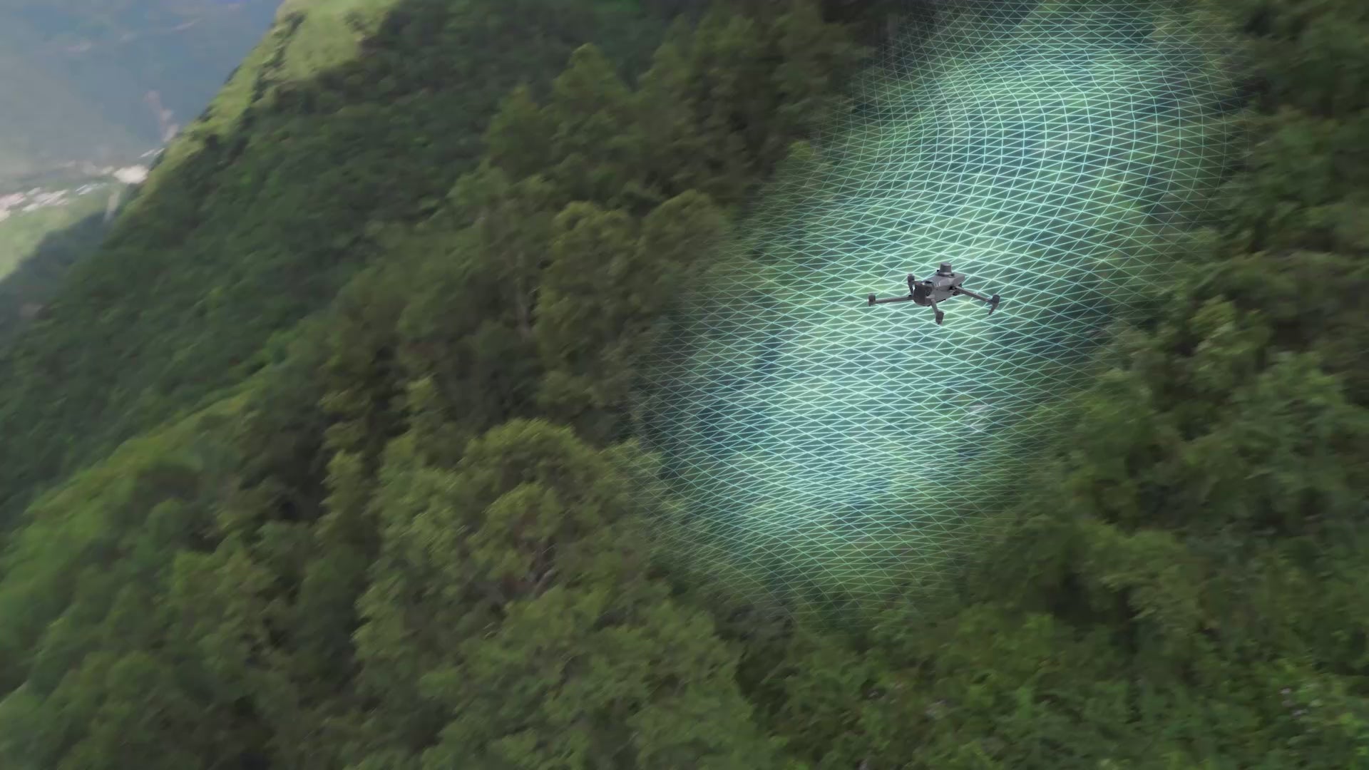
Omnidirectional Sensing for Safe Flying
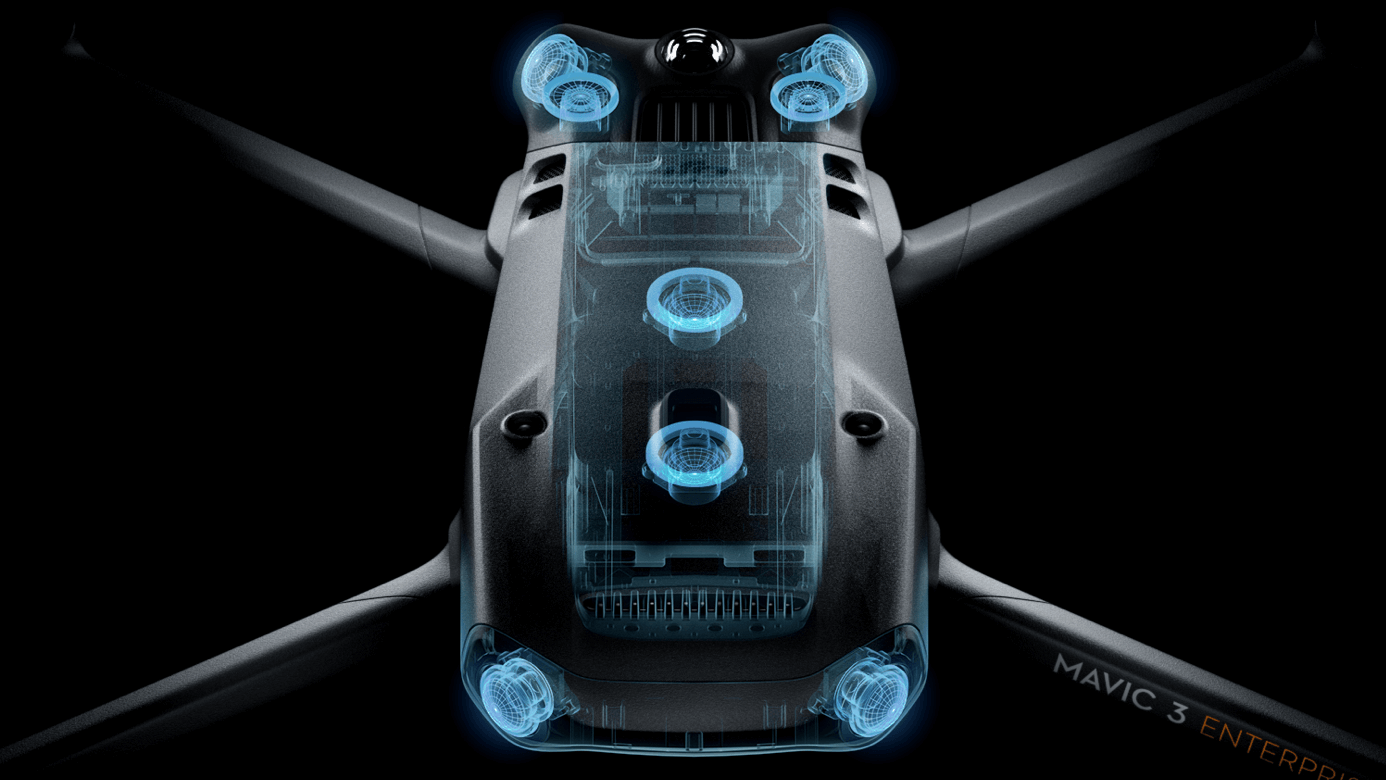
Equipped with wide-angle lenses on all sides for omnidirectional obstacle avoidance with zero blind spots. Adjust proximity alarms and braking distance depending on mission requirements. [6]
Advanced RTH automatically plans the optimal route home, saving power, time and hassle.
APAS 5.0 enables auomatic rerouting around obstacles, so you can fly with pease of mine. [7]
Flight Route
Real-Time Terrain Follow
Automatically adjust altitude when mapping areas with variations in elevation, all without needing to import external elevation data thanks to Mavic 3E's omnidirectional sensing. [8]
Smart Oblique Capture
Elevate the efficiency of your oblique photography mission with Smart Oblique Capture. During flight, the gimbal automatically rotates in three directions: front, middle, and back. Two routes can collect all photos at the angles needed for high-precision 3D modeling.
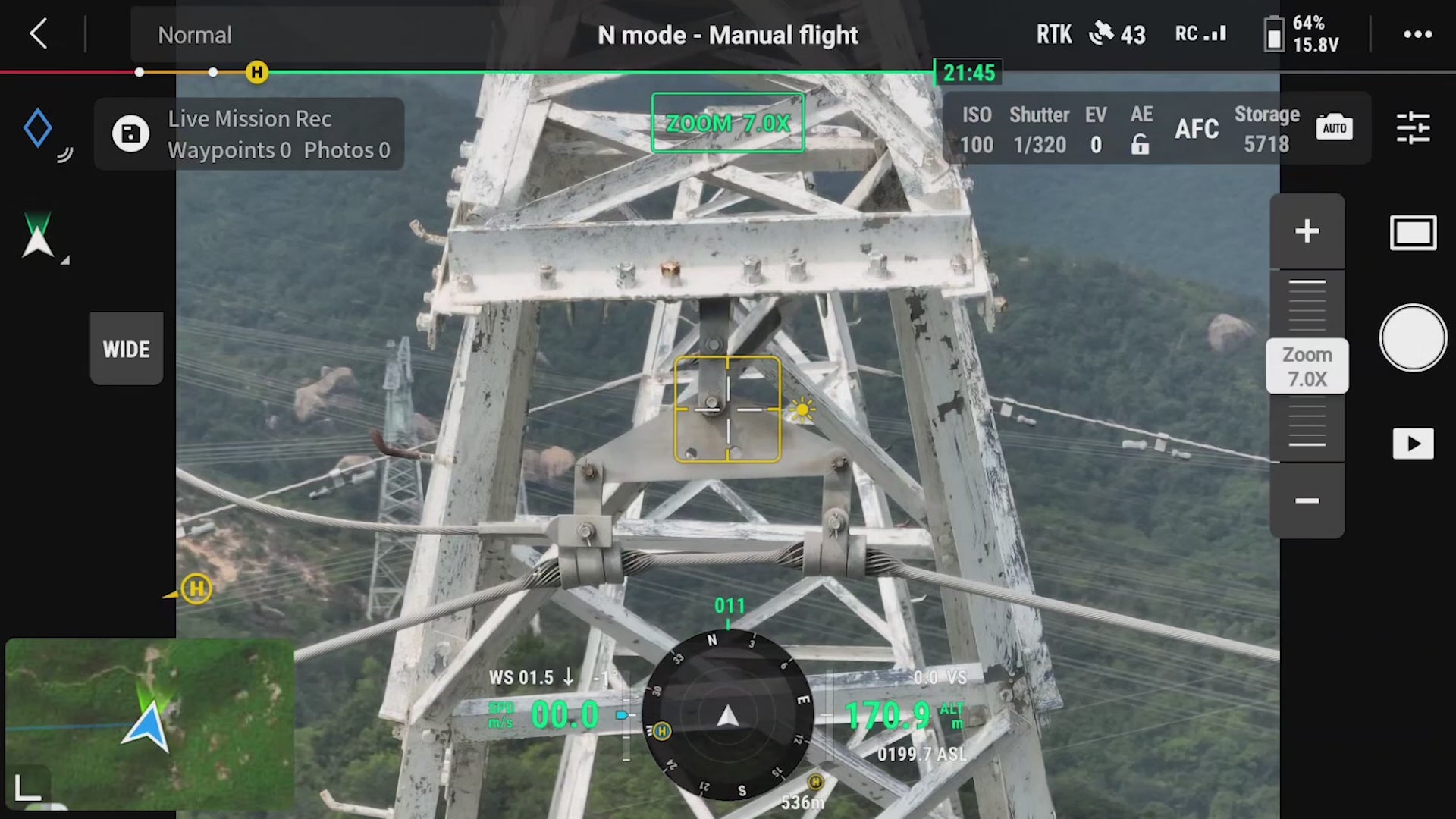
Live Mission Recording
Record mission actions such as aircraft movement, gimbal orientation, photo shooting, and zoom level to create sample, mission files for future automated flights.
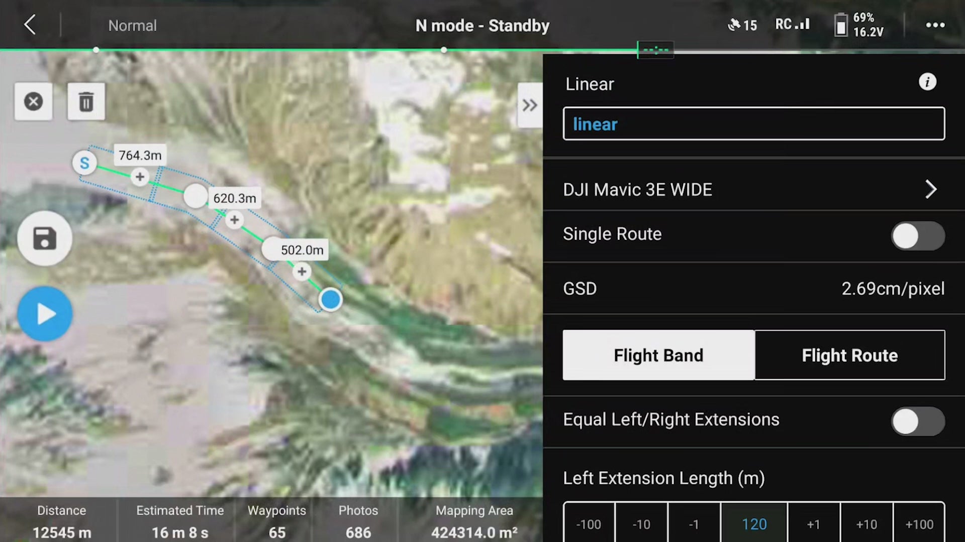
Corridor Mission Planning
Created automated flight missions of highways, rivers, oil pipelines, and more with Corridor Mission Planning. Simply draw a line on the map and it divides the area into mappable segments for straightforward surveying.